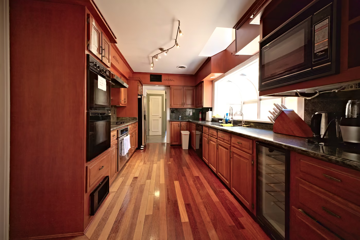
Buyers decide whether to book a showing in the few seconds they spend on your first photos. Our job is to make those seconds count: rooms that look bright and inviting but still true to life, clean lines, and a set of images that walks a buyer through the home in a sensible order.
What’s included
- Professional interior and exterior photography of every main room and the outside of the home
- Aerial drone photos and drone video included — the lot, the roofline and the neighbourhood
- Careful composition, lighting and editing for every photo
- Full-resolution, high-quality files ready for MLS, REALTOR.ca and social media
- Fast turnaround
Larger home? Tell us the square footage and we’ll quote it. Add a 360° virtual tour for $250 or a dedicated property website for $150.
Photos from a recent shoot
Every photo on this page is our own work, from a country villa we photographed in October: interiors, the entrance and the property from the air.


How we edit
Every photo is edited one by one, not run through a single filter. We set the exposure and white balance for each room so walls stay white instead of yellow or blue, straighten vertical lines so walls and door frames don’t lean, and keep colours crisp and vivid without looking fake. You get full-resolution files, so they stay sharp on MLS, on a big screen and in print.
Drone photos and video, included
Aerial shots show what ground photos can’t: the size and shape of the lot, the pool and backyard, the roofline, and how close the home is to parks, water or trees. That’s why aerial drone photos and a short drone video are part of every photography package, not an add-on.
We fly a lightweight micro drone and follow Canada’s drone rules. A few locations, such as close to London International Airport or other restricted areas, can limit what we’re able to fly; if that applies to your property, we’ll tell you before the shoot.
How a shoot works
- BookEmail us the address, the approximate square footage and when you’d like the shoot. We’ll confirm the price, including any travel fee outside London.
- Prepare the homeClear counters, turn on every light, open the blinds, move cars off the driveway and put away anything personal. Our preparation checklist covers the details.
- The shootMost sessions take 2–4 hours depending on the size of the home. We photograph every main room, the exterior, and fly the drone when the weather allows.
- Edit and deliverEach photo is edited individually, then you receive the full-resolution photos and the drone video, ready to upload.
Make the listing work harder
- 360° virtual tour, $250 — an interactive walkthrough with a 3D model and floor plans, captured in the same visit.
- Dedicated property website, +$150 — one link with the photos, drone video and tour, for your listing or your marketing.
- Short-term rental? — see how we photograph vacation rentals and Airbnb listings.
Areas we cover
VILLAM is based in London, Ontario. We photograph homes across the city and the surrounding area, including:
- London
- St. Thomas
- Strathroy
- Komoka
- Ilderton
- Dorchester
- Thorndale
- Mount Brydges
- Ingersoll
- Woodstock
- Port Stanley
- Grand Bend
Travel fees may apply outside London; we’ll always quote them up front.
Frequently asked questions
Is the drone really included?
Yes. Aerial drone photos and drone video are part of the $350 photography package for homes up to 2,500 sq ft.
How long does a photo shoot take?
Usually 2–4 hours, depending on the size and layout of the home.
Are the photos ready for MLS and REALTOR.ca?
Yes. You receive full-resolution, edited photos that are ready to upload to MLS, REALTOR.ca, your website and social media.
What if the home is larger than 2,500 sq ft?
Email us the square footage and the address and we’ll send a quote.
Do you provide floor plans?
Yes, with a 360° virtual tour: it includes an AI-generated 3D model and floor plans that show the layout and flow of the home. They’re for marketing, not a measured survey.